Index of /assets/5ca70e8ae658de1d1e0331ff747c3f76/image/png
Name
Last modified
Size
Description
Parent Directory
-
20mmmap_final.png
2020-03-10 17:23
3.8M
CRAMMap_final112117.png
2020-03-10 17:23
3.3M
CRAMMap_updated112117.png
2020-03-10 17:23
3.3M
CRAM_Basemap.png
2020-03-10 17:23
1.5M
CRAMscreen.png
2020-03-10 17:23
505K
California_Estuaries_Base_Map.png
2020-03-10 17:23
920K
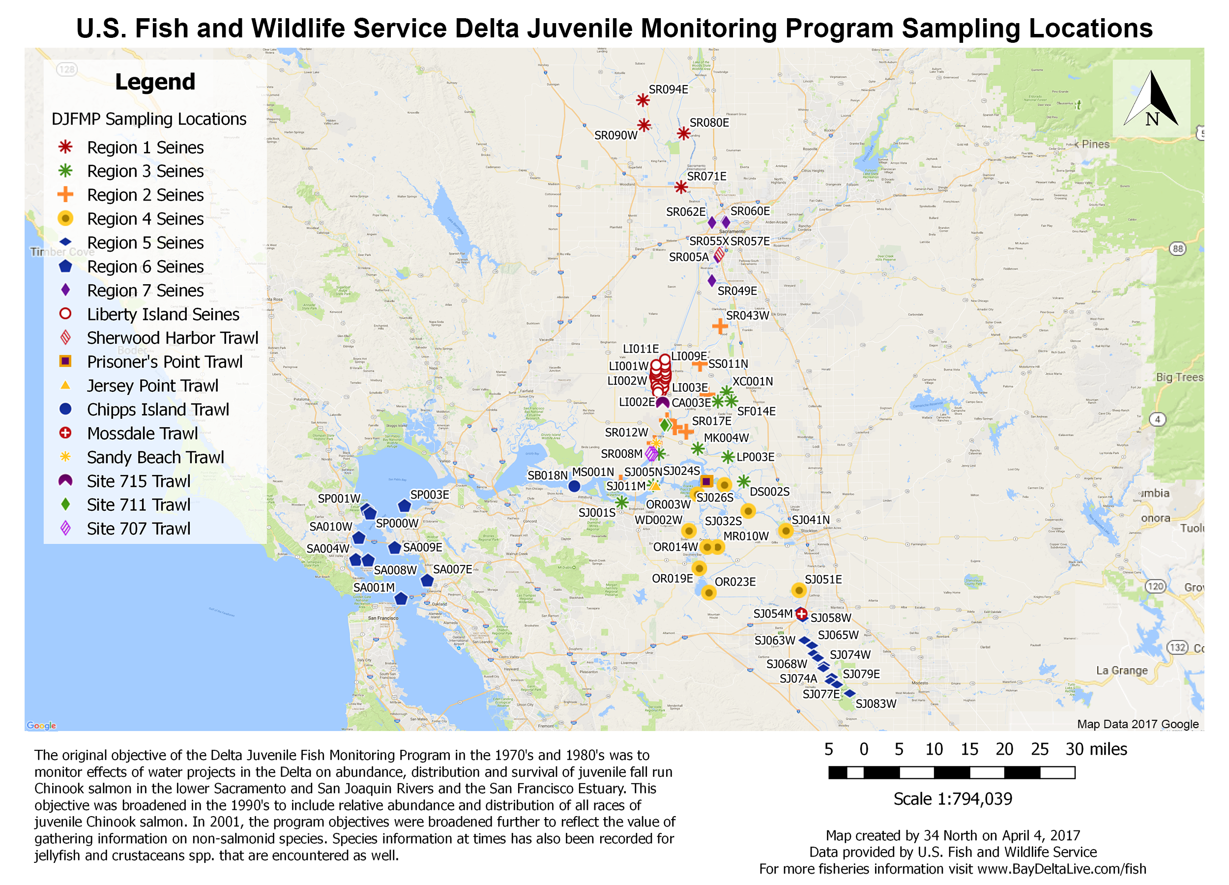
DJFMPmap_final.png
2020-03-10 17:23
3.5M
DWR_Turbidity_Transect_GIS.png
2020-03-10 17:23
1.8M
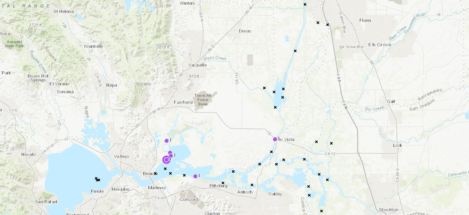
EDSM_Catch_Summary_Basemap.png
2020-03-10 17:23
1.3M
EDSM_KDTR_Season_to_Date_-_One_week_Timestep_(Longfin_Smelt).png
2020-03-10 17:23
1.4M
EDSM_Weekly_Summary_Chinook_Timeline_Map.png
2020-03-10 17:23
1.6M
EDSM_Weekly_Summary_Delta_Smelt_Timeline_Map.png
2020-03-10 17:23
1.6M
EDSM_Weekly_Summary_Longfin_Smelt_Timeline_Map.png
2020-03-10 17:23
1.6M
EDSM_Weekly_Summary_Rainbow_trout-Steelhead_Timeline_Map.png
2020-03-10 17:23
1.6M
EDSM_Weekly_Summary_Timeline_Map.png
2020-03-10 17:23
1.6M
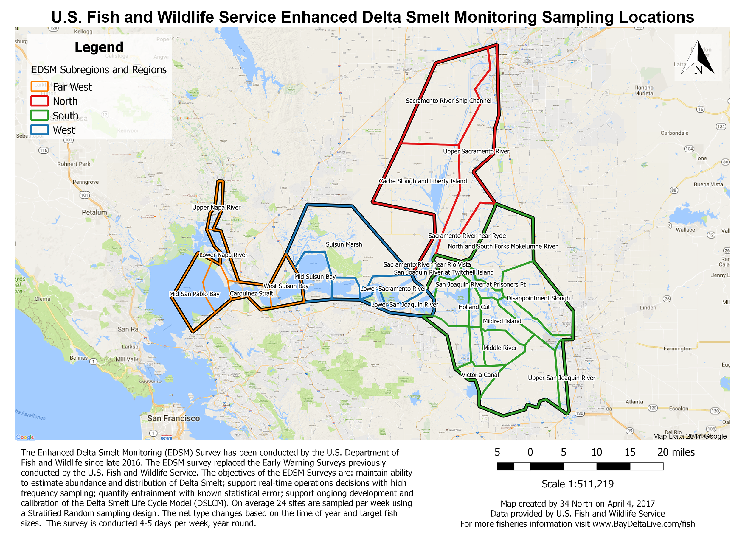
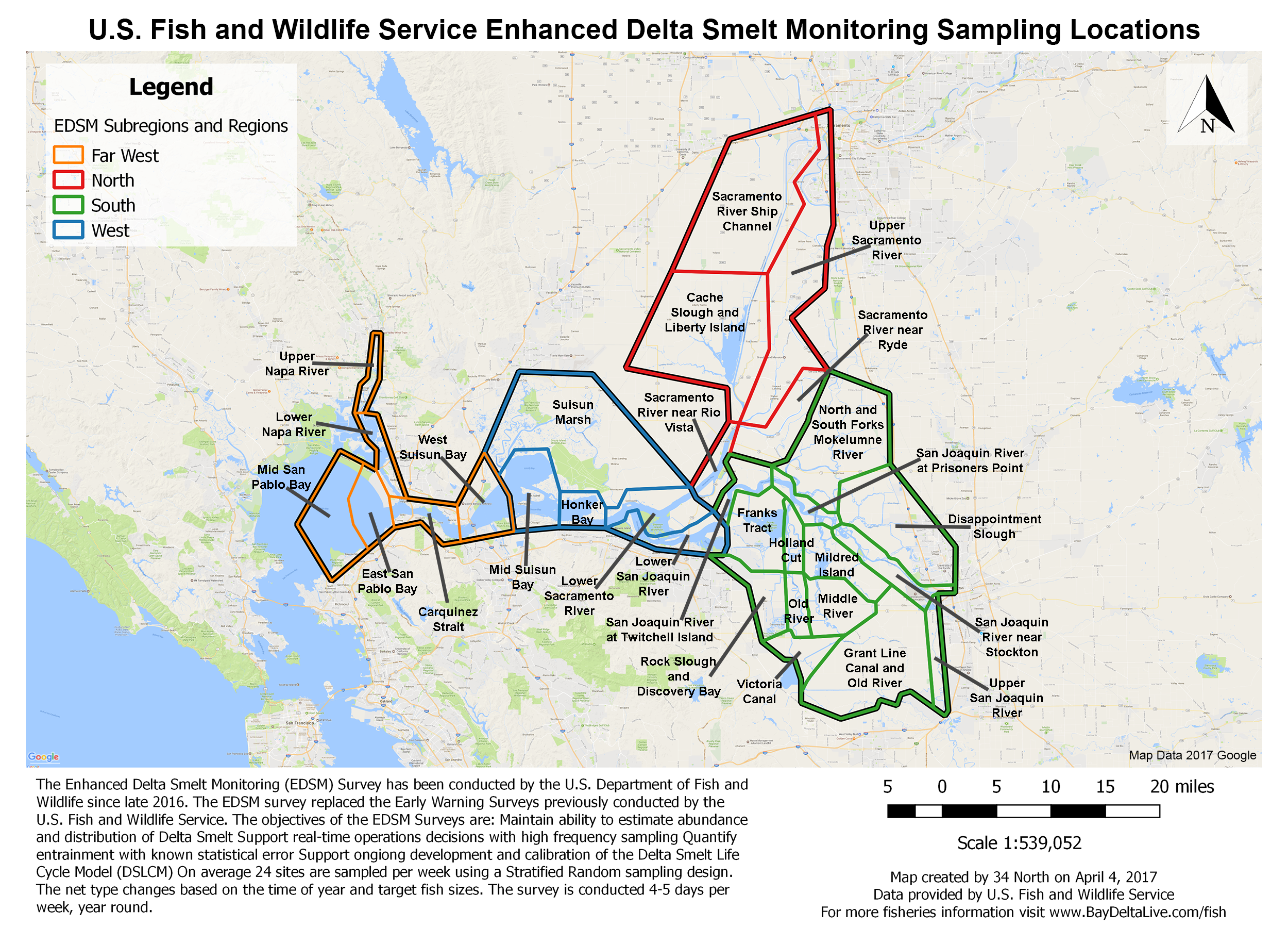
EDSMmap_final.png
2020-03-10 17:23
3.6M
EDSMmap_finalalt.png
2020-03-10 17:23
3.8M
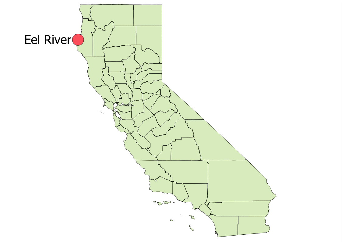
EelRiver_locator.png
2020-03-10 17:23
87K
ElkhornSlough_locator.png
2020-03-10 17:23
88K
FMWTmap_final.png
2020-03-10 17:23
3.7M
FishSalvagemap_FINAL.png
2020-03-10 17:23
3.7M
KlamathRiver_locator.png
2020-03-10 17:23
87K
LC80440342015192LGN00_LST.png
2020-03-10 17:23
2.9K
LC80440342015192LGN00_LST_water.png
2020-03-10 17:23
8.1K
Land_Use_and_Ownership_Basemap.png
2020-03-10 17:23
1.3M
Landsat8_20130829.png
2020-03-10 17:23
3.6K
MadRiver_locator.png
2020-03-10 17:23
88K
Monitoring_Programs_Map.png
2020-03-10 17:23
1.9M
MorroBayLocator2.png
2020-03-10 17:23
88K
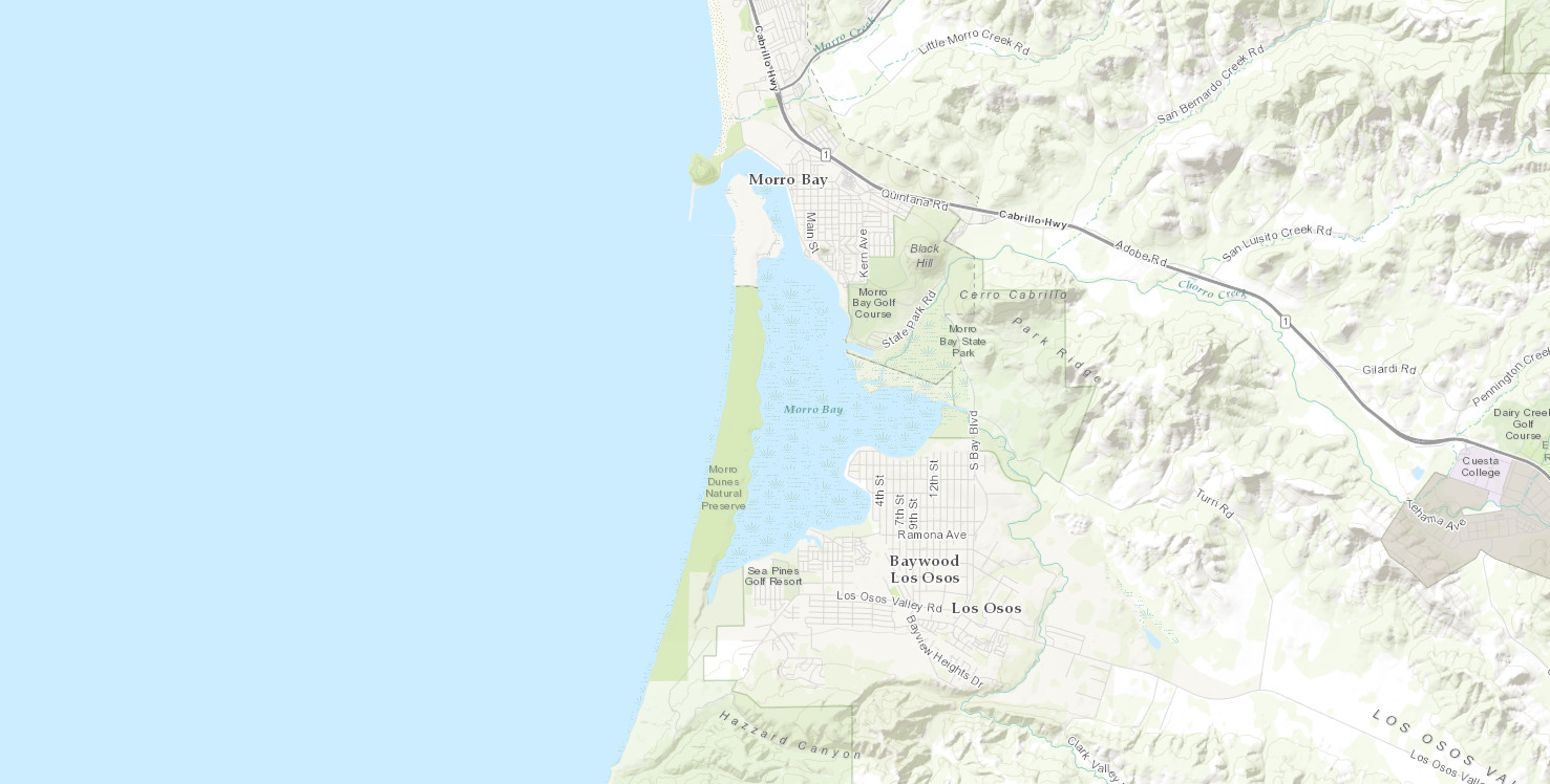
MorroBay_Locator.png
2020-03-10 17:23
88K
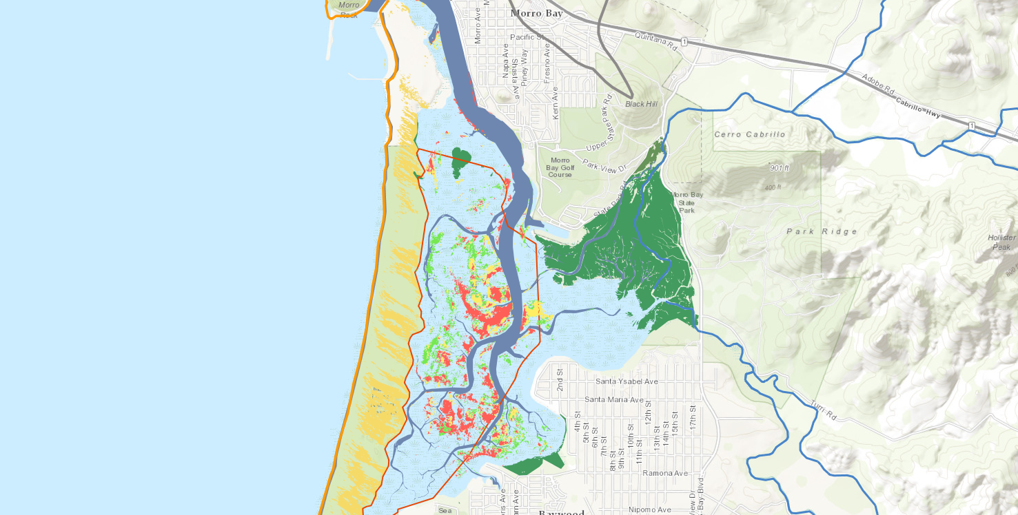
Morro_Bay_Estuary_Base_Map.png
2020-03-10 17:23
1.1M
Morro_Bay_Estuary_GIS.png
2020-03-10 17:23
1.3M
NASA_TURBIDITY_GEOTIFF_OUTPUT_(01-26-2016).png
2020-03-10 17:23
1.2M
NASA_TURBIDITY_GEOTIFF_OUTPUT_(01-30-2017).png
2020-03-10 17:23
1.4M
NASA_TURBIDITY_GEOTIFF_OUTPUT_(02-05-2016).png
2020-03-10 17:23
1.4M
NASA_TURBIDITY_GEOTIFF_OUTPUT_(09-18-2015).png
2020-03-10 17:23
1.2M
NASA_TURBIDITY_GEOTIFF_OUTPUT_(12-01-2016).png
2020-03-10 17:23
1.4M
NASA_TURBIDITY_GEOTIFF_OUTPUT_(12-17-2015).png
2020-03-10 17:23
1.2M
NASA_TURBIDITY_GEOTIFF_OUTPUT_(12-21-2016).png
2020-03-10 17:23
1.4M
NASA_TURBIDITY_GEOTIFF_OUTPUT_(12-26-2017).png
2020-03-10 17:23
1.4M
NASA_TURBIDITY_GEOTIFF_OUTPUT_(12-31-2016).png
2020-03-10 17:23
1.3M
NASA_Turbidity_Geotiff_Output_(12-26-2017).png
2020-03-10 17:23
1.3M
NoyoRiver_locator.png
2020-03-10 17:23
88K
Reservoir_Capacity_(as_of_2-9-2018).png
2020-03-10 17:23
2.0M
RussianRiver_locator.png
2020-03-10 17:23
88K
SFBay_locator.png
2020-03-10 17:23
88K
SKtmap_final.png
2020-03-10 17:23
3.2M
SantaMonica_locator.png
2020-03-10 17:23
89K
Screenshot_20171106-110818.png
2020-03-10 17:23
67K
Screenshot_20171106-112003.png
2020-03-10 17:23
110K
Screenshot_20171106-115038.png
2020-03-10 17:23
227K
Screenshot_20171106-115409.png
2020-03-10 17:23
154K
Screenshot_20171106-115454.png
2020-03-10 17:23
220K
Screenshot_20171106-115456.png
2020-03-10 17:23
224K
Screenshot_20171106-115537.png
2020-03-10 17:23
331K
Screenshot_20171106-115632.png
2020-03-10 17:23
126K
Screenshot_20171106-115802.png
2020-03-10 17:23
119K
Screenshot_20171106-123938.png
2020-03-10 17:23
118K
Screenshot_20171106-125000.png
2020-03-10 17:23
668K
Screenshot_20171106-135038.png
2020-03-10 17:23
107K
Screenshot_20171106-135120.png
2020-03-10 17:23
98K
Screenshot_20171106-135132.png
2020-03-10 17:23
87K
Screenshot_20171107-091029.png
2020-03-10 17:23
80K
Screenshot_20171107-091037.png
2020-03-10 17:23
123K
Screenshot_20171107-091253.png
2020-03-10 17:23
92K
Screenshot_20171107-091316.png
2020-03-10 17:23
104K
Screenshot_20171107-091320.png
2020-03-10 17:23
86K
Screenshot_20171107-091324.png
2020-03-10 17:23
84K
Screenshot_20171107-091418.png
2020-03-10 17:23
74K
Screenshot_20171107-091601.png
2020-03-10 17:23
88K
Screenshot_20171107-091613.png
2020-03-10 17:23
59K
Screenshot_20171107-091726.png
2020-03-10 17:23
84K
Screenshot_20171107-092101.png
2020-03-10 17:23
53K
Screenshot_20171107-092127.png
2020-03-10 17:23
73K
Screenshot_20171107-093330.png
2020-03-10 17:23
105K
Screenshot_20171107-093335.png
2020-03-10 17:23
72K
Screenshot_20180122-105128.png
2020-03-10 17:23
299K
Sentinel_Legend.png
2020-03-10 17:23
4.0K
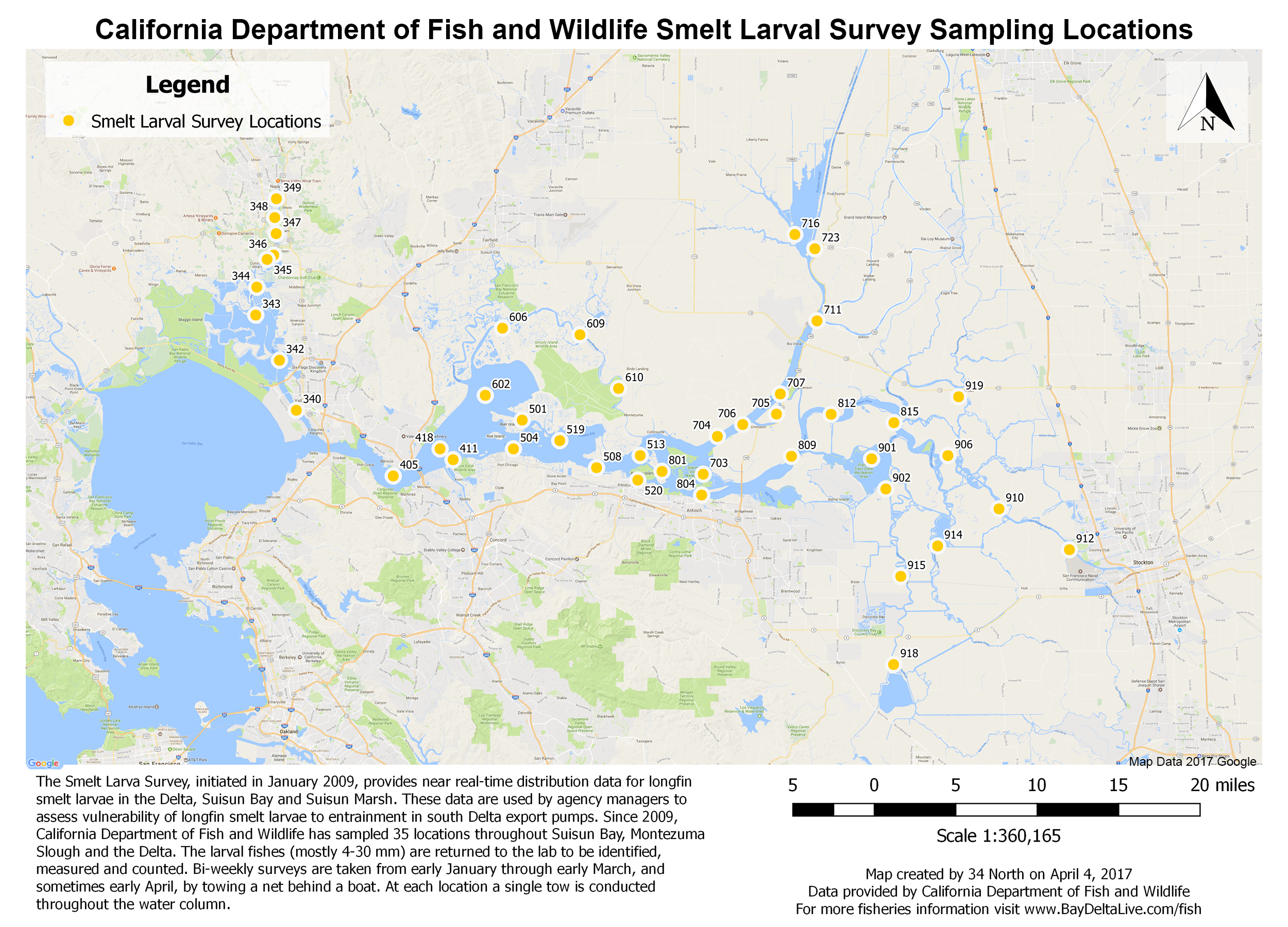
SmeltLarvalmap_final.png
2020-03-10 17:23
3.4M
SmithRiver_locator.png
2020-03-10 17:23
86K
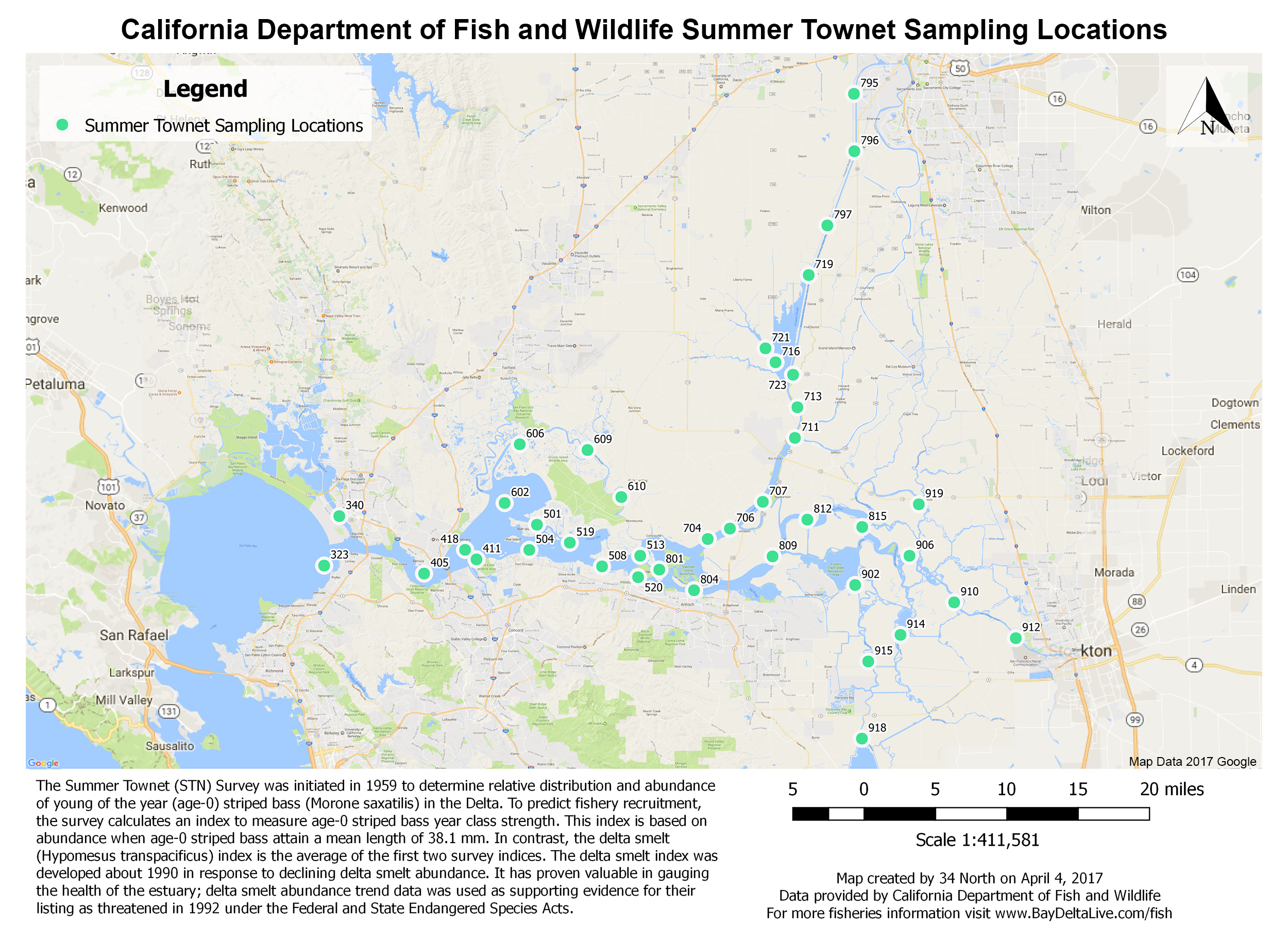
SummerTownetmap_final.png
2020-03-10 17:23
3.2M
Water_and_Infrastructure_GIS_Basemap.png
2020-03-10 17:23
1.7M
cramarea.png
2020-03-10 17:23
755K
ecoatlashabitat.png
2020-03-10 17:23
849K
estuary.png
2020-03-10 17:23
16K
ezNDT0Z.png
2020-03-10 17:23
1.8K
firefox_2017-06-28_12-48-16.png
2020-03-10 17:23
696K
i5I6MdI.png
2020-03-10 17:23
1.7K
measure_test.png
2020-03-10 17:23
1.8M
measure_test_2.png
2020-03-10 17:23
2.7M
mobile_test.png
2020-03-10 17:23
1.2M
neri.png
2020-03-10 17:23
483K
woodfuelmoisture.png
2020-03-10 17:23
34K
135x104/
2020-03-10 17:23
-
145x120/
2020-03-10 17:23
-
320x240/
2020-03-10 17:23
-
438x280/
2020-03-10 17:23
-
640x480/
2020-03-10 17:23
-
70x70/
2020-03-10 17:23
-
Apache/2.4.52 (Ubuntu) Server at emp.baydeltalive.com Port 443
.png)
.png)
.png)
.png)
.png)
.png)
.png)
.png)
.png)
.png)
.png)
.png)